LiDAR surveying has a broad variety of applications in which it can be used such as Cable Management, Waterworks, Landscaping, Archaeology, 3D modelling and many more.
The team of ADEDE consists of a set of certified drone pilots who're able to perform a series of flights, both within urban and rural sites. With an integrated team of geospatial experts, in-house project managers, and a vast network of professional pilots, we are ready to deploy when and where you'll need us.
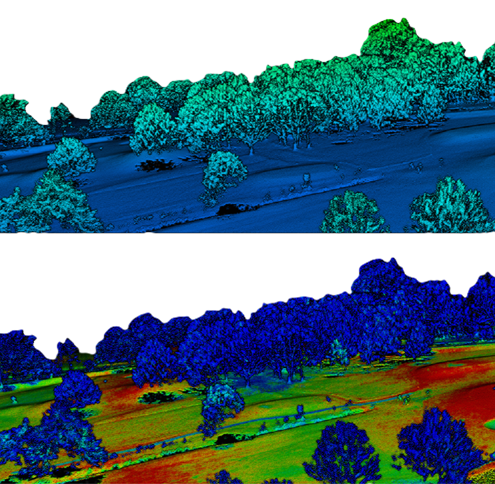
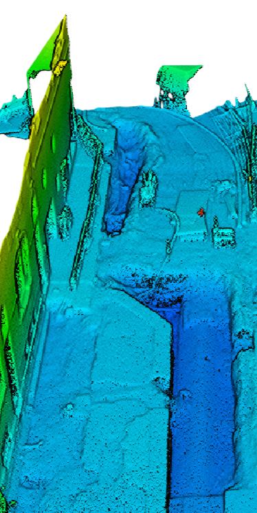
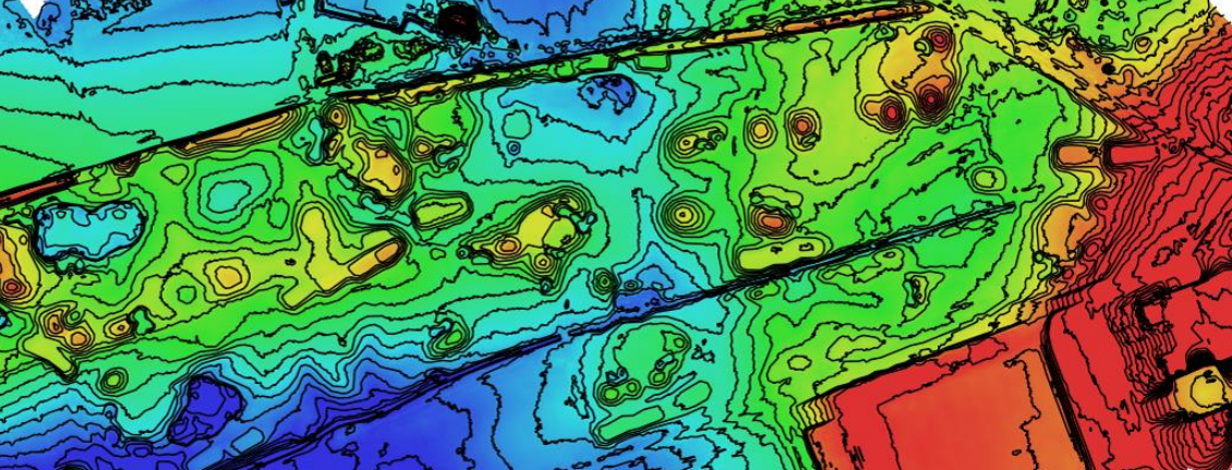
LiDAR (Light Detection and Ranging) is a remote sensing method used to detect objects in real space with a high level of precision and accuracy. In the UAV LiDAR process, a drone flies over a specified area sending out laser pulses onto a surface at a rate of 100k-3 million pulses per second. After measuring the time it takes for the signal to return, LiDAR Data is electronically compiled with GPS data to create a digital representation of the scanned area in a point file format used by professional surveyors to create a great number of deliverables for their clients.
Using this method allows us to scan multiple hectacres in a single flight. Our expert surveyors can use the gathered data in a wide field of applications
- Agriculture
- Archaeology
- Land Development
- Building Modeling
- Mining industry
- 3D modelling
- Cable Management
- Geology and soil science
- ...
The use of Lidar has some major advantages over the classical methods. While it's able to scan a wide surface in a small amount of time delivering an unseen detail, it can also fly at low altitudes and reach ground surfaces through heavy vegetation, enabling precise collection of locational data. LiDAR-equipped drones can reach ground surfaces through small openings in the canopy of foliage and plant life, capturing data difficult to collect by traditional methods.